Mount Tom Alternate
Posted By auntie on October 5, 2015
5.5 miles; exeter, ri
today was a pchc hike mostly following ken weber’s mount tom hike, but skipping the lower half of barber trail to use the sand hill trail and the old ten rod road instead. it made for a nice alternative, and i got to see parts of arcadia i’d never seen before.
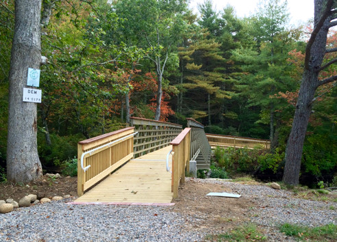
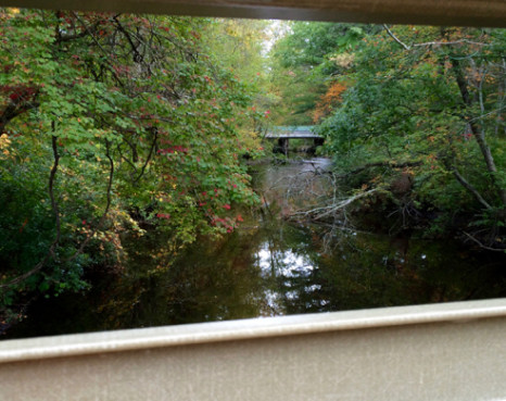
first off, kudos and thanks to the narragansett chapter of the amc for this shiny new bridge over the wood river at the check station. the mount tom trail as it was originally blazed forced hikers to detour out to busy route 165 and back in order to cross the river. this bridge saves that at times hair-raising detour.
the ken weber hike starts at the check station, then heads south to meet parris brook and then climb the famous mount tom ledges and go by the stone chairs, which is how we started our hike.
however, after crossing 165 (yeah, another scary bit of the trail) and climbing to the “summit” of mount tom, the weber hike then sends you down barber trail, actually a boring gravel road, and back to the check station, so to add interest, we opted to detour off barber trail where it meets the north-south trail and take the sand hill trail down to old ten rod road and back instead.
i’ve never been on this stretch of old ten rod road before. it’s a “road” in the same sense that mount tom is a mountain, i.e., not much. but it goes by a very steep ledge with a giant pile of rocks at its base. i’d say it was a quarry, but i didn’t see any drill marks on any of the rocks. this rock pile looks very much constructed, however, and not random. it’s a mystery.
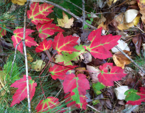
and as you can see from all the photos, the foliage in southern rhode island is beginning to put on a show. these maple leaves caught my eye especially—such a vivid color!
i have added this version of mount tom to the hikefinder. trailhead, auntie’s trail map.


Comments
Leave a Reply