

Gay City State Park
Posted By auntie on November 14, 2014
6.26 miles; hebron, ct
stop it you guys. it really is called gay city, and it’s named after a prominent family that once lived here. this park is on the site of a 0nce-thriving, now completely abandoned community. according to the hiker/blogger who runs connecticut museum quest (ctmuseumquest.com), who i think got his info from the connecticut state department of energy and environmental protection (from now on the ct state deep), it was founded in 1796, and, long story short, was basically abandoned shortly after the end of the civil war. it was once home to a thriving woolen mill, which burned down, and then a thriving paper mill, which, again, burned down.
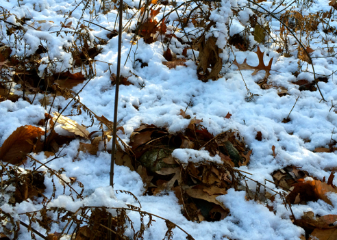
yep, snow
oh, did i mention it snowed last night? it snowed last night. but this was the only spot i could find to illustrate that point, as it was mostly gone by the time i started hiking. so not too bad.
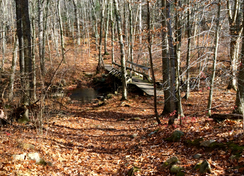
bridge over the blackledge river
i chose to enter the park via the blue-blazed gay city trail from birch mountain road, and then followed a lollipop loop around the perimeter of the park. i’m thinking this wasn’t the best choice for seeing ruins, as i saw approximately none. but there are a lot of trails through here, and it’s definitely worth a return visit, this time to actually see the ruins. while i was there i was passed by several trail runners, a pastime that kind of freaks me out. i mean, running on rock-strewn, leaf-covered trails sounds to me like the perfect recipe for a twisted ankle, at best. but hey, whatever floats your boat, i guess.
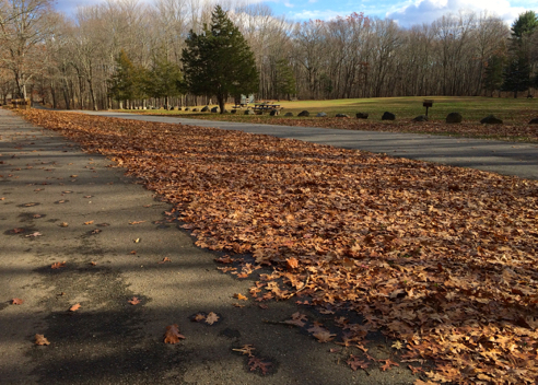
park entrance
the trail head i chose is directly opposite the actual park entrance, which is off of north street in hebron. actually, i gather it’s a pretty popular place in the summer, with camping and picnicking and a beach. but aside from me and some trail runners, today it was deserted.
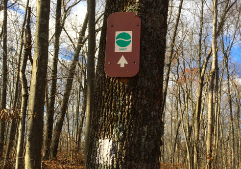
easy! i’m all about the easy
it’s a really well-blazed trail system. i decided to try this trail, to see if it was as advertised. it was! awesome.

d’oh! beaver detour
or rather, i guess i should say it was easy till i got to this point. beavers are apparently very active through here, and they have dammed a small creek which crosses the trail. i considered trying to maneuver my way over the beaver dam, but it was around 40-degrees outside, and i decided that getting wet would be really, really unpleasant, so i backtracked a short way and found a detour around this spot. um, it really should be marked, i’m thinking. i had no warning and there was no indication of a detour before i got here. and from the looks of it, it’s not brand-new.
overall, i can very much recommend this park as a great place to hike. there were some decent hills, but nothing that kicked my butt, and everything (except for the beaver detour) is very well marked and blazed. i have added gay city (stop it you guys!) to the hikefinder.

[…] trail system following the blue trail, which took a turn to the north towards Gay City State Park. I’d been to Gay City once before, but never got to see the ruins. “Ruins?” you ask. Yes, apparently this place would […]