Coventry Greenway West
Posted By auntie on July 24, 2019
2.5 miles; Coventry, RI
This was a quick after-work hike… well, for those of us who still work. We had a nice little group for this section of the Washington Secondary. Only 1 more section to go now that’s passable.

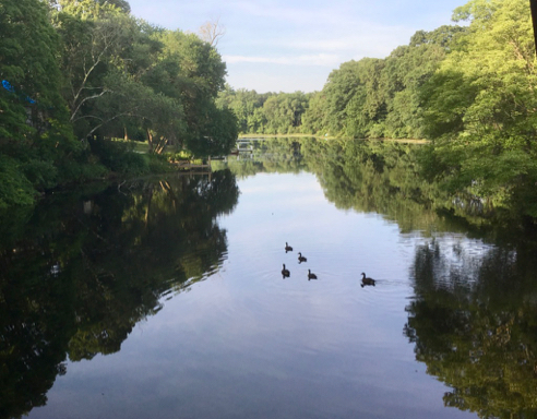
Nice View
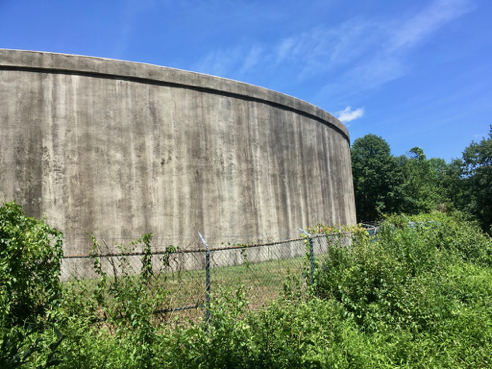
There are a whole lotta lakes in Coventry, and some very pretty lakeside properties.

Lizard on the Cheese Bridge
I don’t know why somebody graffitied a lizard onto the deck of the Cheese Bridge, and I also have no idea why it’s called the Cheese Bridge. There are some things we are just not meant to know.

Paintng in Autumn
This was not the only leaf that got memorialized by the stripe painting machine. I guess that’s one of the hazards of painting in the autumn.
As I mentioned earlier, we have just one more section of the Washington Secondary Bike Path to do. It won’t get us to the state line, because RI is in the process of replacing bridges and upgrading the surface of the trail as far as Connecticut. As to what happens after the trail crosses the state line, well, that is anyone’s guess.
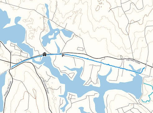
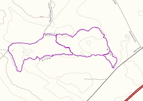
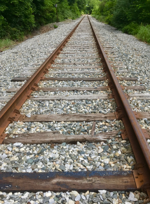
Track (click for details)
You can find out more about and get maps of the Washington Secondary Bike Path at this RI Dept. of Transportation website. As always, click the image above for details about this hike and to download the gps track.