Posted By auntie on July 1, 2019
8.1 miles; Glastonbury, Manchester, and Vernon, CT
Wow, it’s been a year and a half since I last hiked the Shenipsit. It would be a vast understatement to say that last year was just not a great year for me. But I finally got back to trying to complete this blue-blazed hiking trail, and I’m glad I did. This section had almost no roadwalking, which was great. And I had no time constraints, so I really enjoyed this hike.
Blue & White Connector Trail
I started from Birch Mountain Road in Glastonbury, and found my way to the blue-and-white blazed connector trail where I left off last time. This took me back to the Shenipsit.

Water Crossings
We’ve had a lot of rain in this part of the world recently, and there were probably a half-dozen or so water crossings. They’re not big on bridges around here. This is a photo of one of the rare ones I was able to use. Most of the time I was clambering over stepping stones, hoping to not hit a patch of slippery moss or a loose stone.
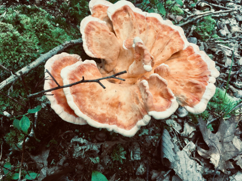
Chicken of the Woods
Fungus shot! I was surprised to find such a mature specimen of chicken this early, but I guess I shouldn’t have been. They grow pretty much all spring, summer, and fall.

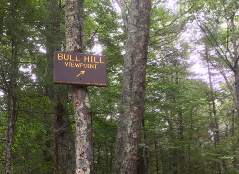
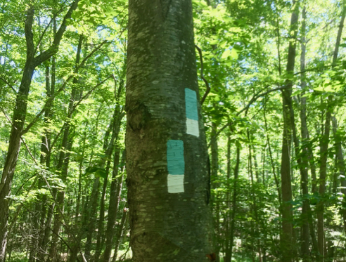
Busy Signpost Tree
The Shenipsit goes through the Case Mountain Reserve in Manchester. This 640-acre property has some nice old carriage roads and a lot of mountain biking trails. There are trails up the three “mountains,” Birch Mountain, Case Mountain, and Lookout Mountain. I was slightly apprehensive about doing a lot of slogging up mountains, or “mountains,” in this case, but I needn’t have worried. The going was pretty easy.

Seldom-used Bridge
Once I left the Case Mountain Recreation Area, the going got quite a bit dicier. This bridge didn’t look as though it had been used in months, and the trail was overgrown with all kinds of vegetation. Then I remembered the last time I hiked a trail this overgrown, and got kind of nervous… especially considering my snake encounter of about a week before! But this time, no deadly creatures, just a lot of slogging through ferns and other assorted underbrush. Again, this particular stretch of the Shenipsit is not heavily used.

Gas Pipeline
It even follows a pipeline cut for a stretch.

RIP Mike
On the far side of a big boulder by the trail I came across this sad little memorial to, I’m assuming, or hoping, what was someone’s beloved canine companion, Mike. Either that, or somebody buried a 12-year-old kid named Mike in the woods… The dates on the little inscription were 2002–2014. There were little paw prints on it, too, so yeah, I’ma go with dog.

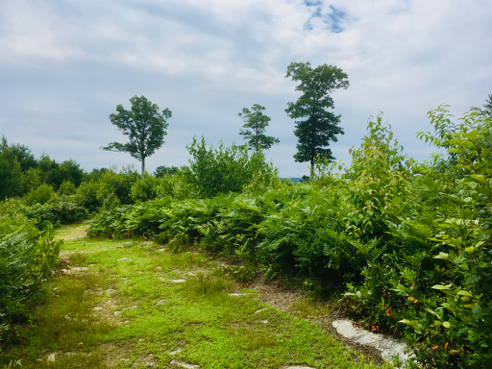
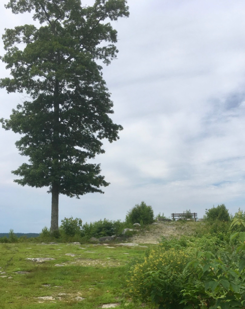
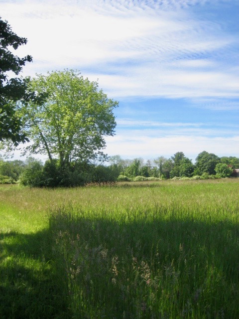
Out of the Woods
Broke out of the woods, finally, to cross a lovely field.

Trail Lost
After the field, the Shenipsit, according to the map, followed along Routes 44 and 6, both very scary busy high speed roads. I opted instead to get on the Charter Oak Greenway, a nice paved bike path that brought me back to the Park & Ride Lot where I had parked my car. The Shenipsit continues north right from that parking lot, so I’m going to count this as “following the trail.”
You can read more about the vast (825 miles at last count) network of blue-blazed trails throughout Connecticut at the website of the Connecticut Forest and Park Association. Be sure to check out the interactive map. As always, click on the image, above, for details about this hike and to download the GPS track.
Like this:
Like Loading...
Category: CFPA Trails, Connecticut, Walks and Hikes |
No Comments »
Tags: 7–10 miles, CT, Glastonbury CT, Manchester CT, Vernon CT