Posted By auntie on April 6, 2019
9.5 miles; West Greenwich and Coventry, RI and Sterling, CT
I called this Day 2.5 because it’s the dreaded Day 3 18-mile section, and I just didn’t feel up to 18 miles. Instead, I met my pals Mel and Bob at Pinetop and hiked the last 9+ miles with them. The detour wasn’t as bad as I feared it would be and the weather was amazing. It was sunny and in the 60s, and we saw mourning cloak butterflies and heard billions of wood frogs and spring peepers. Perfect day for a hike!
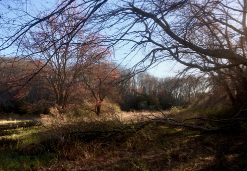
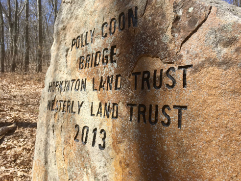
Pinetop
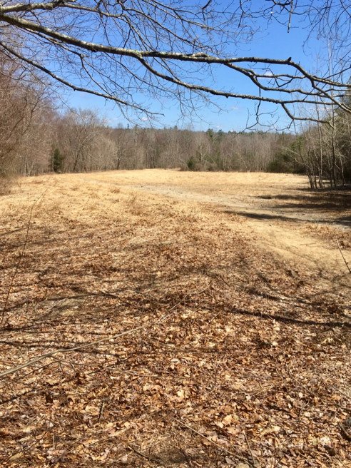
I got to the parking lot at Pinetop a little early, and had time to sit and just absorb the sunshine.

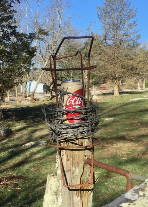
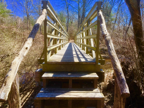
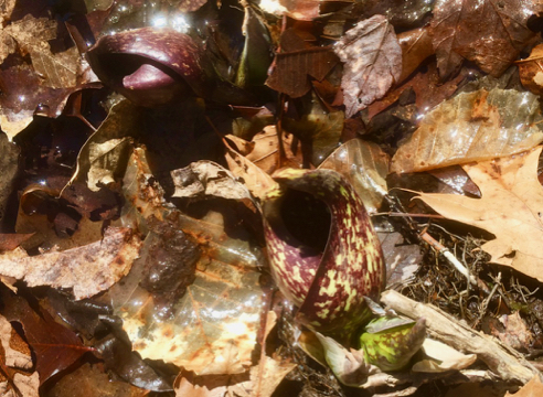
Reading Material
Also, there was plenty of reading material.

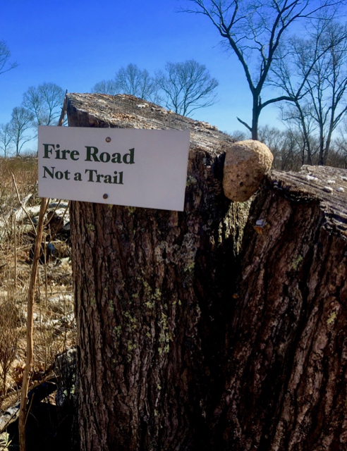
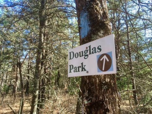
Detour Signage
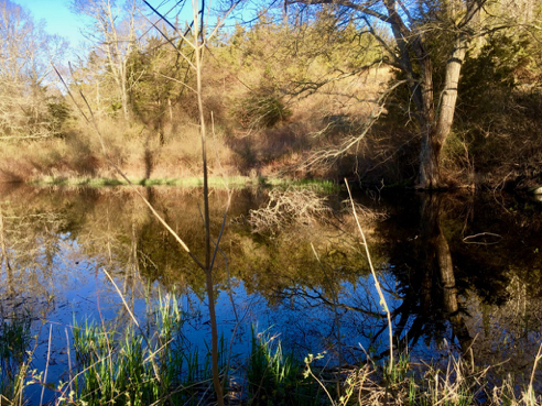
There wasn’t anything special of note, particularly along this stretch, which is mostly road-walking. But then, duh, duh, duh… The Detour.
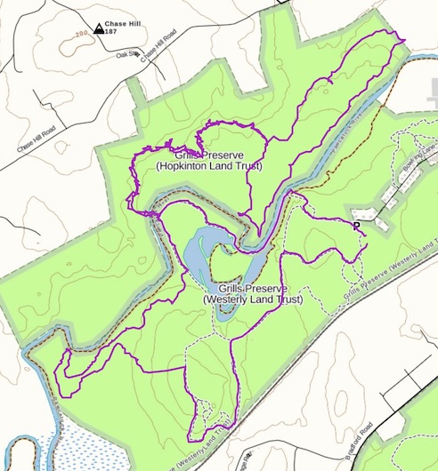
The Detour has been necessitated by the closure of the bridge over the Moosup River in Nicholas Farm Management Area. Apparently the state is planning on upgrading the Trestle Trail on the stretch from Railroad St. in Coventry to the state line. This is the same Trestle Trail that is so lovely where it passes through Coventry, and further east, it becomes the Washington Secondary Bike Path, and ends in Cranston. If they ever get their act together, it’ll be great. No idea how long the N-S Trail will have to include this detour, though.

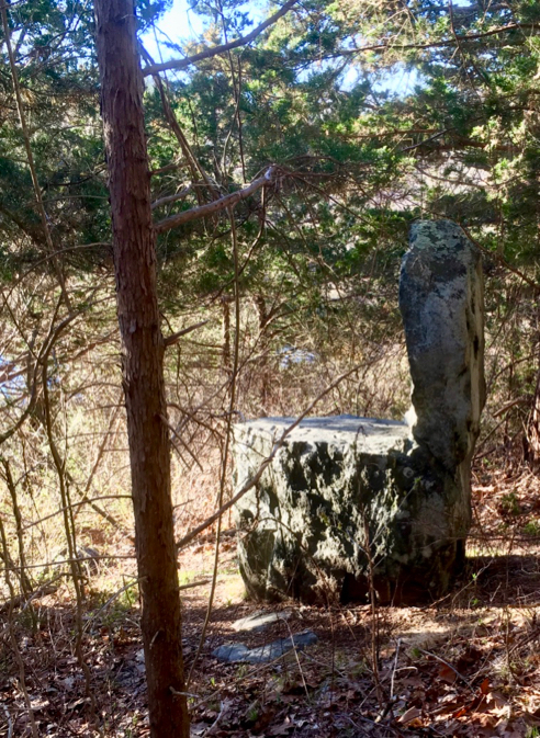
Sheep
The first part of the detour, heading into CT, is along Newport Road, and that’s where I found this pretty sheep decorating a boulder. But wait…

Sheep AND Lamb
When you get to the other side of the boulder, you’re treated to a smiling lamb as well.
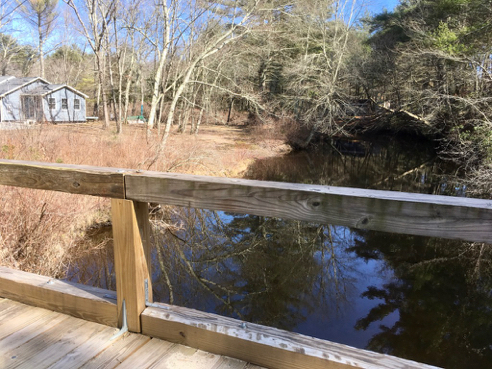
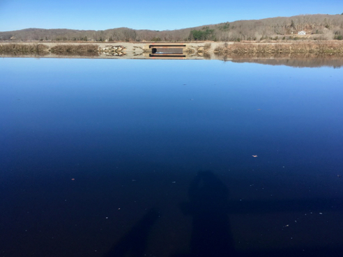
Crossing the Moosup River in Sterling
From Newport Road the trail detour goes into Connecticut’s Pachaug State Forest, which demonstrated its “mixed use” status almost immediately as we were passed by a group of dirt bikers roaring through the woods. We also met some ATV drivers along the Trestle Trail. Good luck to whoever decides to try to restrict this trail to non-motorized vehicle use only…
Anyway, the state forest road eventually ends in a small neighborhood that seems to be an old trailer park. It’s a bit seedy, but the folks we met along our way were friendly. After that, there was a tiny little stretch of walking along Route 14 and then we were on the Trestle Trail again, this time headed back into RI. I had heard bad things about this portion of the trail, but it was essential just an old railroad grade with lots of “wales” or, as my husband likes to call them, “bunny humps,” where repeated motorized travel has created what almost seem like an endless series of moguls, with dips in between. They make for somewhat uncomfortable walking, but it wasn’t actually bad at all.
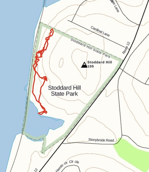
You can find out more about the North-South trail from this rather old and slightly link-rotty website called HTML Outdoors Planet. There is also some very good info on “The Trek” website. But by far the best guide to the North-South Trail is published by the Great Swamp Press. It is, unfortunately, out of print right now, and essentially unavailable as a used book. It is, however, available from the Rhode Island Library system. As always, click the image above for details about this hike and to download the gps track.
<– DAY 1 DAY 4 –>
Like this:
Like Loading...
Category: Connecticut, Rhode Island, RI North South Trail, Walks and Hikes |
2 Comments »
Tags: 7–10 miles, Coventry RI, CT, RI, Sterling CT, West Greenwich RI