2019 STL#3: Barn Island WMA
Posted By auntie on March 28, 2019
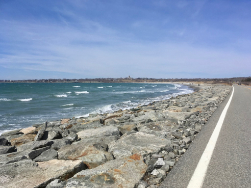
4.5 miles; Stonington, CT
I know I kind of swore off this place due to all the dogs, and then it turns up on this year’s Sky’s the Limit challenge. Thankfully, it wasn’t at all bad today. One loose dog who had zero interest in me… he just wanted to run, run, run, along with his owner. And it’s a beautiful walk. So, maybe not so swore off after all.

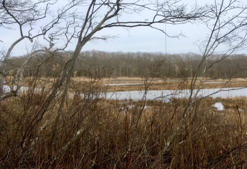
Barn Island itself
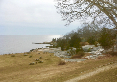
I’m actually not sure which of those two big lumps of trees is Barn Island, but I do know that there is actually an island called Barn, and the wildlife management area is named after it.
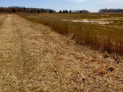
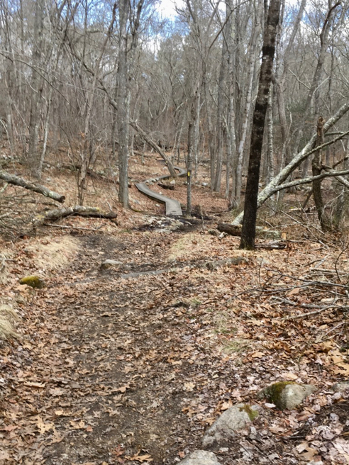
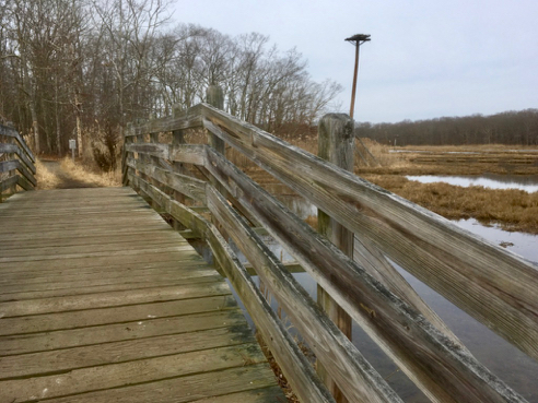
The Trail
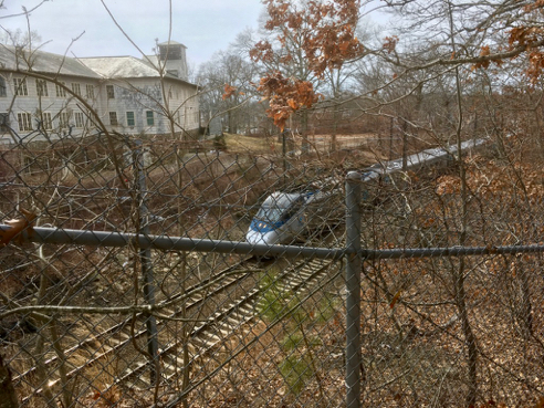
Even though the 2 required selfies for this challenge were pretty close to the parking area, I chose to do my usual 4 1/2 mile loop around the whole property. So between here and Harkness I got in 6 miles today. Not bad.
You can find out more about Barn Island Wildlife Management Area from this CT DEEP website. Actually, this page has a notice stating that “A comprehensive management plan is currently under development.” Huh. Check out item #6:
- An inventory, habitat assessment, and management for species of greatest conservation need known or expected to occur at Barn Island, most notably, the New England cottontail;
- A forest resources assessment;
- How to respond to known threats to habitat quality, such as increasing recreational use, invasive species, and sea level rise;
- Coordination of scientific research in ecologically sensitive areas;
- Management of unauthorized encroachments along Barn Island’s property boundaries;
- Address conflicts among sometimes disparate recreational user groups;
- Prioritizing WMA property expansion/acquisitions;
- Inventory and management of cultural resources;
- Prioritizing facilities improvement needs, including improved access management; and
- Fire break area management and maintenance.
Bet this will involve unleashed dogs, mountain bikers, hikers, and hunters.
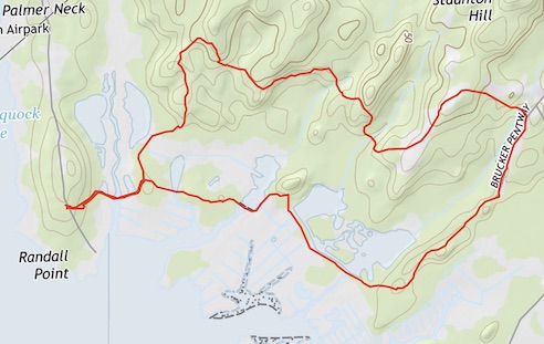
For details on the 2019 Sky’s the Limit Challenge, see the STL website. As always, click the image above for details about this hike and to download the gps track.