Three 2019 Sky’s the Limit Hikes
Posted By auntie on June 14, 2019
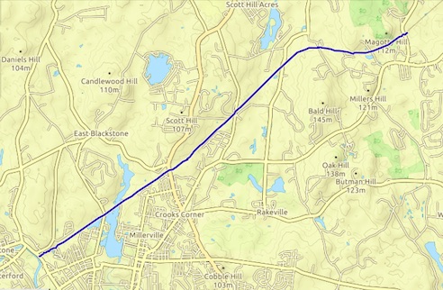
4.65 miles; Sprague, Hampton, and Voluntown, CT
Can’t really call them all hikes, and I didn’t even bother to record the gps track for one of them. But I got all my selfies [Ed. Note: not so much], so that makes 6 down, with 4 to go for the certificate, and 8 to go for the walking stick drawing! I hit Goodwin, Pachaug, and the new-to-me Salt Rock State Forest.
But before I get into the hikes, let me just say that I am probably as tired of apologizing for my late blog posts are you all are of reading those apologies. So even though, ONCE AGAIN, I’ve let a backlog accumulate, I’m not apologizing for it. It is what it is. Now back to our irregularly scheduled blog posts…
Hey! Remember the CT DEEP’s Sky’s the Limit Challenge? Me too. I decided to do a little group of three today and knock several off all at once.
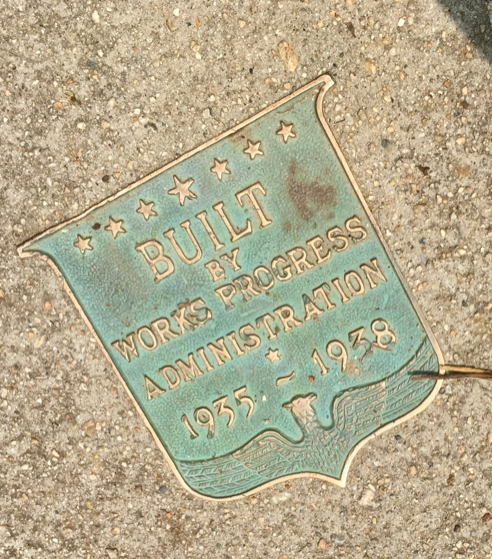
First stop was one of my favorite Connecticut State Forests, the James L. Goodwin State Forest in Hampton.
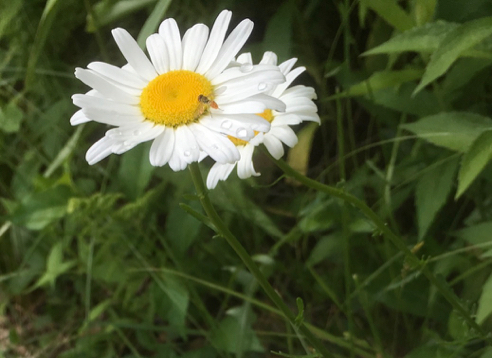
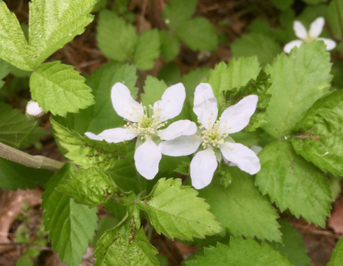
Daisies
It was a lovely day for hiking, and the wildflowers are marching along through their seasons. Today was a day for daisies, partridge berries, and irises.

Turtle Eggs Plundered
I’m guessing from the size that these are snapping turtle eggs. Were. They obviously became someone’s dinner. I see this all the time, and it makes me wonder how snapping turtles ever manage to reproduce.

Partridge Berries Blooming
Partridge berries are cool because both of those flowers are required to make one berry. If you examine the resulting berries, you’ll notice they have two little “belly buttons,” not just one.

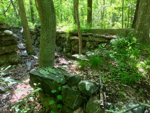
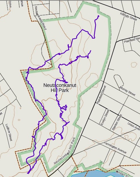
The Trail
I needed a selfie-shot of the Conservation Center at the park entrance, and one of Governor’s Island, so I decided to take the blue-and-white-blazed Pine Acres Pond Trail north from the parking area. I’d forgotten just how rocky this trail is. It was also pretty damp; we’d had some decent rain the day before.

Iris
The wild blue irises were in bloom along the trail to Governor’s Island. This is the wildflower we in the North Stonington Garden Club based our logo on.
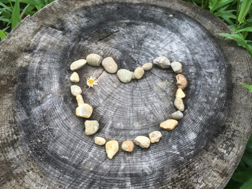
Trail Art
I’m not usually a fan of trail art, but this really delighted me.
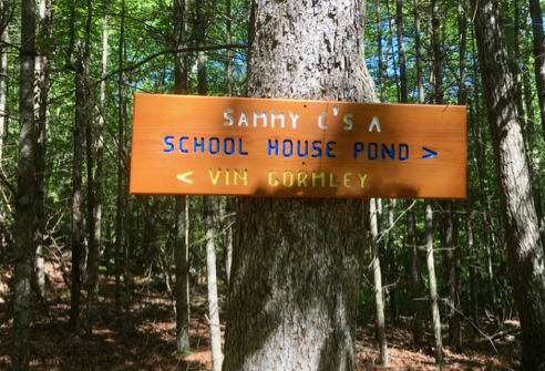
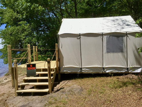
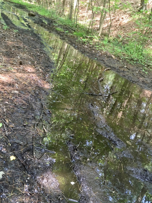
Next stop was the Salt Rock State Forest in Sprague. I’d never heard of this one, and it’s basically just a fishing campground. Still, pretty spot.

Tunnel Under the Railroad Tracks
This STL challenge wanted selfie-shots that included the river view from a bench or the picnic tables and the railroad tracks where trail crosses. Of course, I didn’t read this carefully enough the first time, and now I will have to go back and get the selfies. But I did get both shots. Just not me IN them. D’OH!
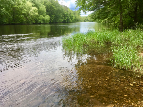
View of the Shetucket River
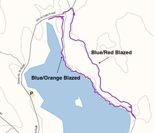
Third and final stop today was in the good old Pachaug State Forest. The selfie challenges for this park consisted of the bridge at base of the campground (start of blue-orange trail) and a view of the island from the trail. Got ’em.

Blue-Orange Trail
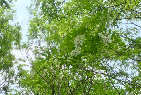
Still a lot of Mountain Laurel in bloom.
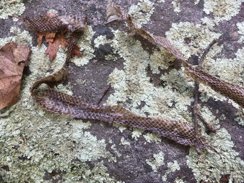
Snake Skin
And just as I was taking this photo of some shed snake skin, I saw what was perhaps its original owner slither away under the rock. Looked like a water snake.

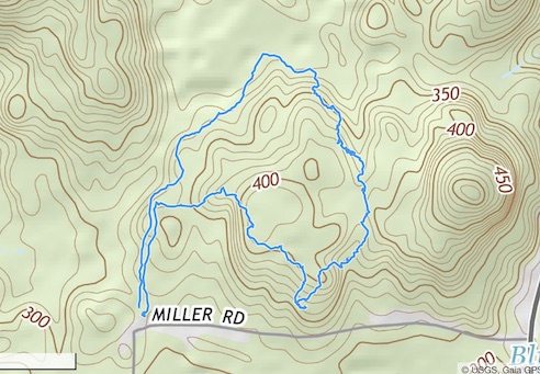
For details on the 2019 Sky’s the Limit Challenge, see the STL website. As always, click the images above for details about these hikes and to download the gps tracks.