Posted By auntie on January 17, 2019
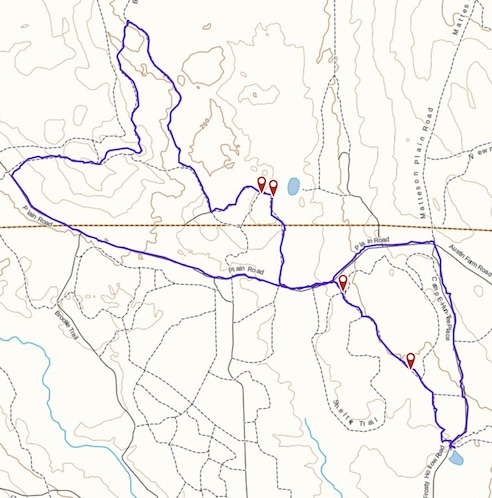
5.84 miles; Exeter, RI
I started this hike a bit late in the day; I had originally meant to do the normal Shelter/Breakheart route. But daylight was escaping me, so I wound up taking an alternate route back which involved rather a large amount of (dirt) road-walking. There was, however, a very nice bit in the woods which I really loved.

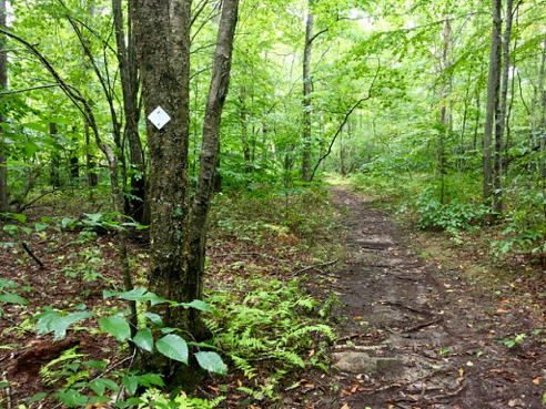
Icy Breakheart Brook
Also, for a change of pace, I walked this clockwise, or at least I began the loop going clockwise. There’s a nice long stretch right at the beginning the follows the brook.
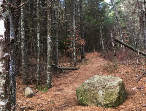
Shelter Trail
This is the spot on the outward part of my route that leaves Plain Road and heads into the woods towards the old CCC encampment. I would be seeing that stretch of Plain Road again on the return journey.
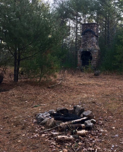
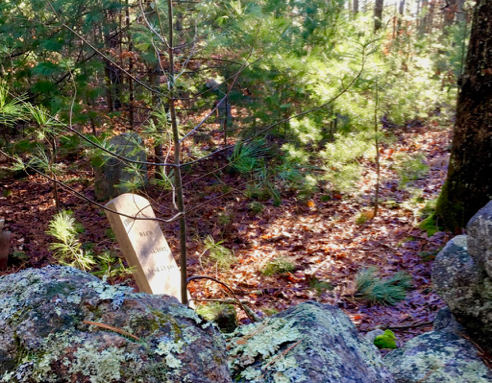
Old Lodge Site
This big chimney is at the site of the CCC Lodge. This must have been quite a large camp, as there are cabins all over the place, some I never noticed before, but thanks to the leaves being off the trees, they seemed to have magically appeared.

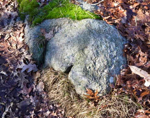
Red Squirrel Midden
This is actually just more of a feeding site. An actual red squirrel midden is large heap of discarded pine cones and scales, and the uneaten, still green cones are stashed in the middle to keep them from drying out and losing their seeds. I’ve yet to come across a substantial midden pile, but you see these little feeding sites everywhere. And as you can see in the background, this was on the way up Penny Hill.
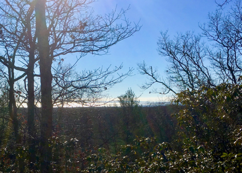
I’d hiked part of this section of the Breakheart Trail once before, with the Providence County Hiking Club. It’s very hilly and with the leaves all down, you can see a great bowl of forest all around you. This stretch reminded me a lot of some of the blue-blazed hiking trails in Connecticut. It’s a very lovely stretch of trail, which sadly ends on a road.
By the way, there are plenty of unmarked trails branching off this entire hike, some of which are recorded on the open hiking map which is a layer on Gaia GPS. That’s what the little waypoint marks are on my route, below. And of course they’re all carefully recorded on the Great Swamp Press map of Arcadia. This might make for an interesting return visit, this time avoiding the road-walking to explore the unnamed and unblazed trails to the south of the road.
As I mentioned above, the best resource for hiking in Arcadia is the Great Swamp Press map. As always, click the image above for details about this hike and to download the gps track.
Like this:
Like Loading...
Category: Rhode Island, Walks and Hikes |
No Comments »
Tags: 5–7 miles, Exeter RI, RI